High River Flows Information
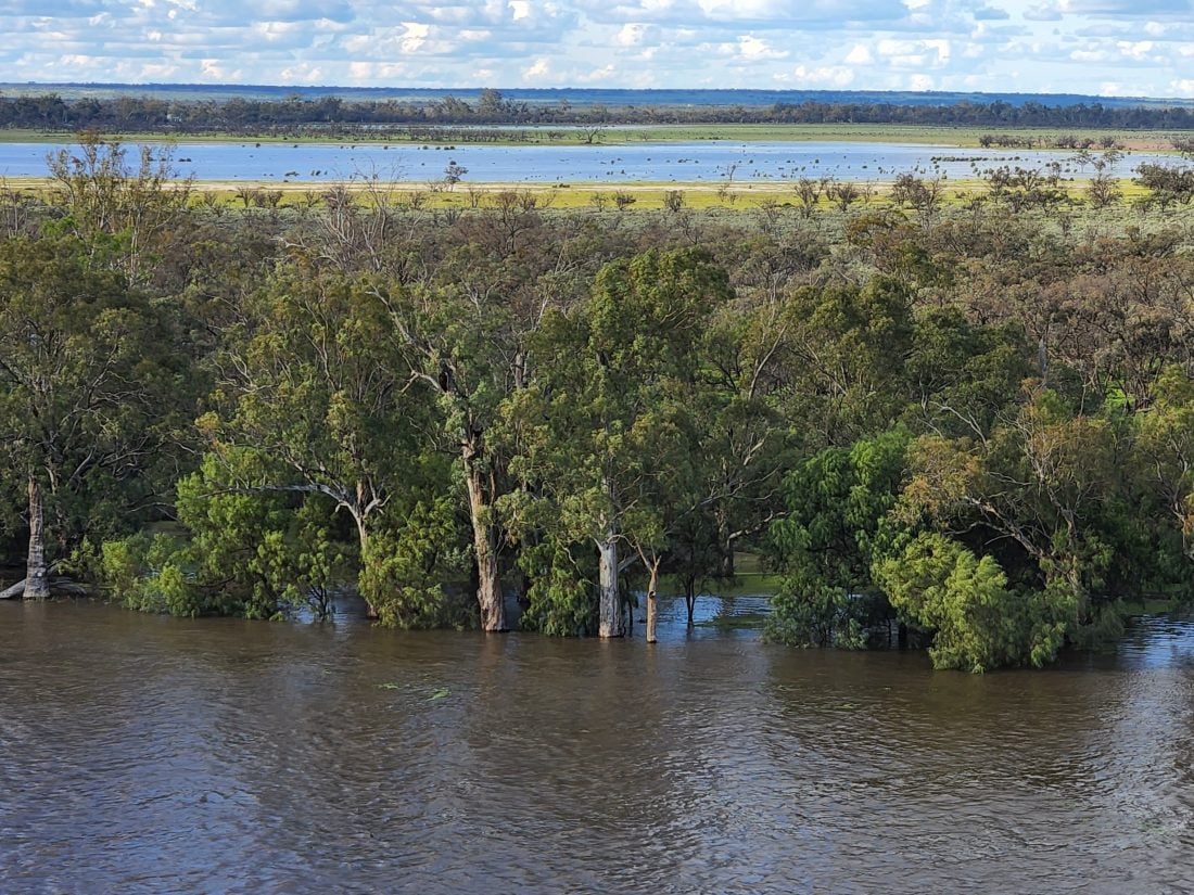
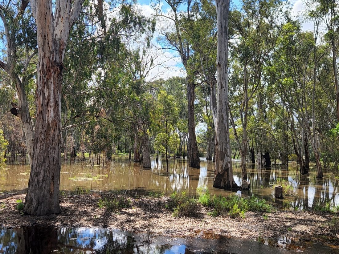
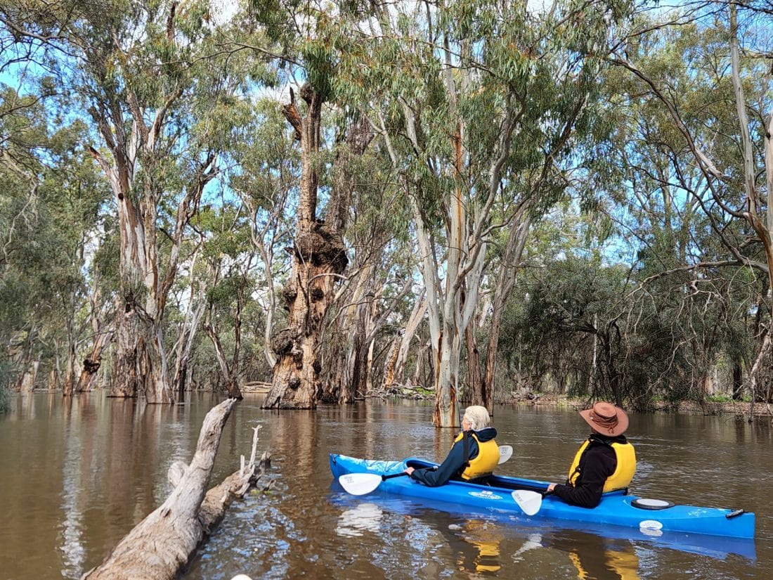
The Murray River has experienced a natural flooding event with flows producing spectacular scenery and ducks, spoonbills and ibis have been busy breeding.
The town of Renmark has remained dry and accessible throughout the flooding thanks to the levee banks, and visitors have enjoyed the spectacular views from the region’s lookout towers, guided cruises and scenic flights.
On Boxing Day the flood peaked at 186 GL/day flowing into South Australia. Water levels rose to almost 4.5m above normal. Locally, flows have subsided to 117 GL/day and will continue to recede.
As the flow recedes below 90 GL/day our favourite houseboat mooring sites will emerge ready for Murray River Safari season in March, and as flows continue to recede below 50 GL/day our usual walking trails will begin to dry out ready for our Murray River Walk season in May.
We’re excited to host you this year and help you discover the new flood signature, in what has been the most significant environmental event on our river in 70 years.
It really is spectacular today and will be flourishing tomorrow!


Murray River Flow Tracker
The Murray-Darling Basin Flow Tracker is proudly sponsered by Murray River Trails and allows you to track river flows and storage levels in all rivers of the basin in one easy to view map.
Please visit www.mappingsa.com.au/home/flowtracker/