River Conditions
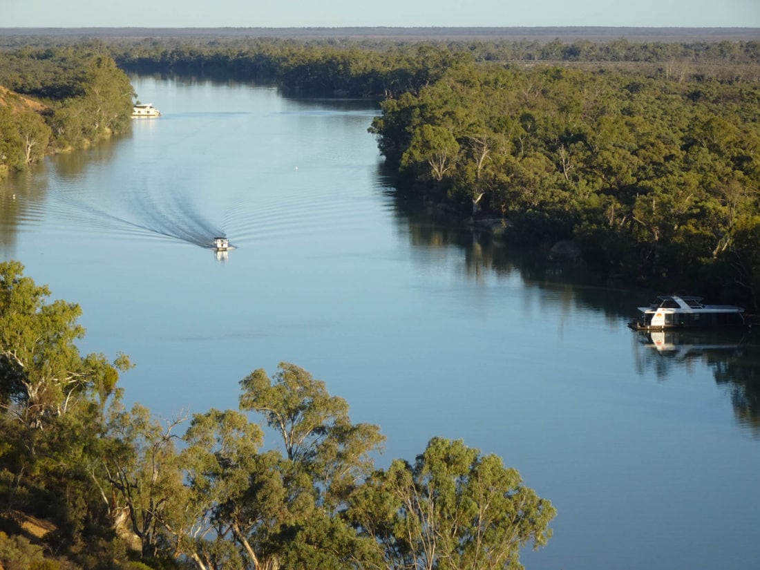
As we operate in a stretch of river 2000km from it's source, the current is often slow and we have 6+ weeks notice for changes in river levels and flows. The construction of weirs along the river in the 1920's enabled regulation of flow which means that even in times of drought we have a full and flowing river.
The Murray Darling Basin Authority through its partner governments, operates and maintains a network of remote hydrometric monitoring stations for the River Murray System. Murray River Trails monitors this information so that we know the flow rates well before a tour departs.
A NATURAL RIVER PROCESS
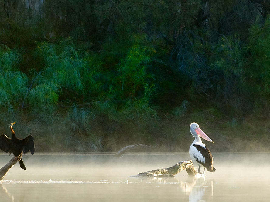
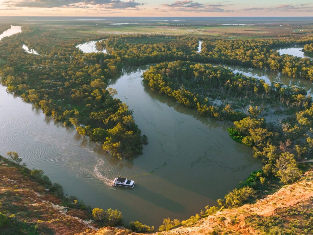
The fluctuations in river levels are what keeps our river healthy, at times when water levels increase and spill over banks into flood plains and redgum forests we adapt walking routes to make the most of this spectacular natural process.
Our Riverland towns in South Australia have lived through big flood events (2022, 1974, 1956, 1931, 1870) and are therefore well prepared with levy banks.
Learn more about the importance of flood events from our Owner/Director Tony Sharley in this video CLICK HERE.
The Catchment area
The catchment area of the Murray River and Darling River systems — the Murray Darling Basin — is more than 1 million square kilometres. Water flows down many tributaries from the mountains of the Great Dividing Range in eastern Australia towards the Murray River in South Australia.
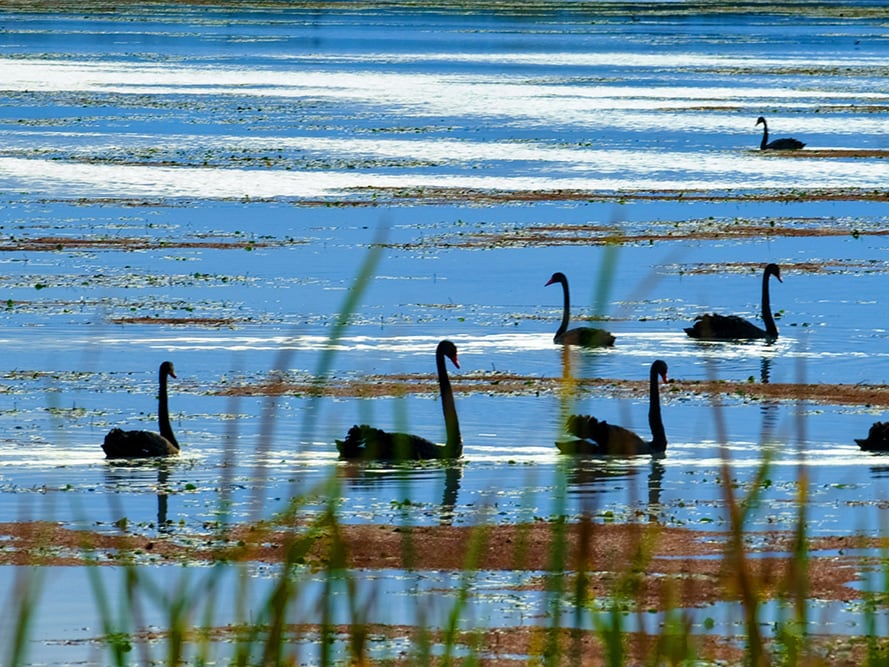
Water is held in storages in the mountains and released slowly down the system to meet irrigation demands, environmental needs and maintain a navigable river. During high rainfall periods flow will increase and water will slowly rise and can spread out onto the floodplains creating spectacular viewing and wildlife breeding conditions.

Murray River Trails always monitor river conditions to adapt its routes and itineraries accordingly.
In 2010 during the 2010/11 floods that broke the 15 year Millennium Drought, Tony Sharley developed a simple map to track flow down all of the rivers in the Basin. This map has been updated fortnightly ever since and forms part of our knowledge sharing on river flow conditions.
Most importantly, if there is a risk to your experience on Murray River Trails we will know within a month of your departure and adapt or advise you accordingly.
You can view the Flow Tracker information which is updated fortnightly by clicking here.
water temperatures
Water temperatures cool down from summer highs (27 degrees Celsius) through autumn (22C to 14C) to winter (14C to 11C), before they start warming again in spring from September to November (13C to 22C). A foot dip in the river is always on and swimming is a treat as the water warms.
Live Webcam of the river
You can see how the river looks right now by clicking on the button below with the Renmark Riverfront's live River webcam.